
On this page:
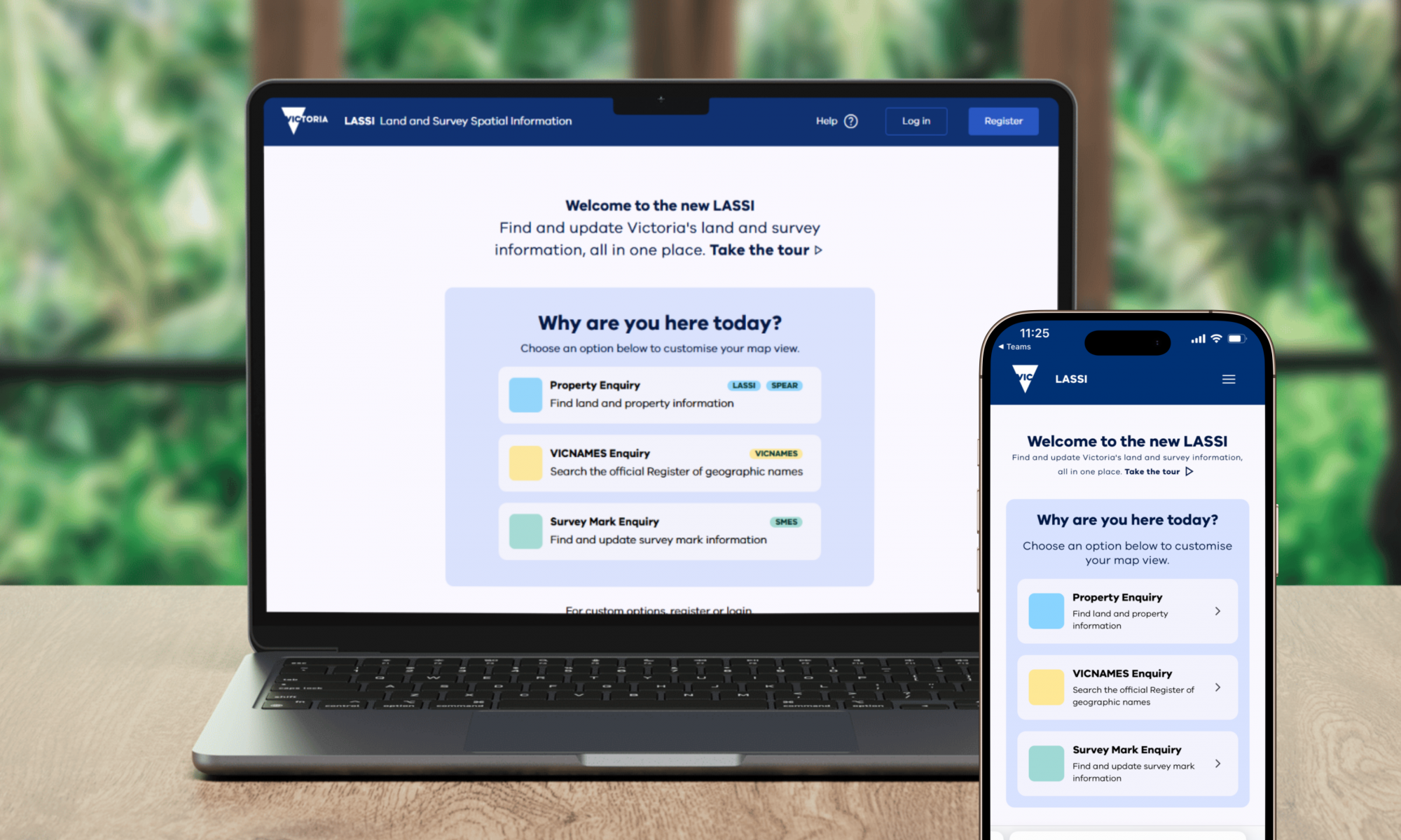
Land and Survey Spatial Information (LASSI) is a free, web-based mapping platform that supports the day-to-day work of surveyors, councils, government agencies and the public by providing access to authoritative land, survey and place name information.
LASSI allows users to search, view and export information about Victoria's:
- Crown and freehold parcels
- survey marks
- officially registered place names.
It can also be used to view or download property reports and identify surrounding infrastructure like roads and railways.
LASSI brings together 4 mapping systems into a single, future-ready platform:
- LASSI
- LASSI-SPEAR – property parcels and surveying information
- VICNAMES – the official Register of Geographic Names in Victoria
- Survey Marks Enquiry Service (SMES) – find and add survey mark information.
Using LASSI
LASSI is accessed through a single online platform that supports different enquiry types depending on what you need to do.
When you enter LASSI, you choose an enquiry type:
- Property Enquiry – search and export land and property information (LASSI and LASSI-SPEAR).
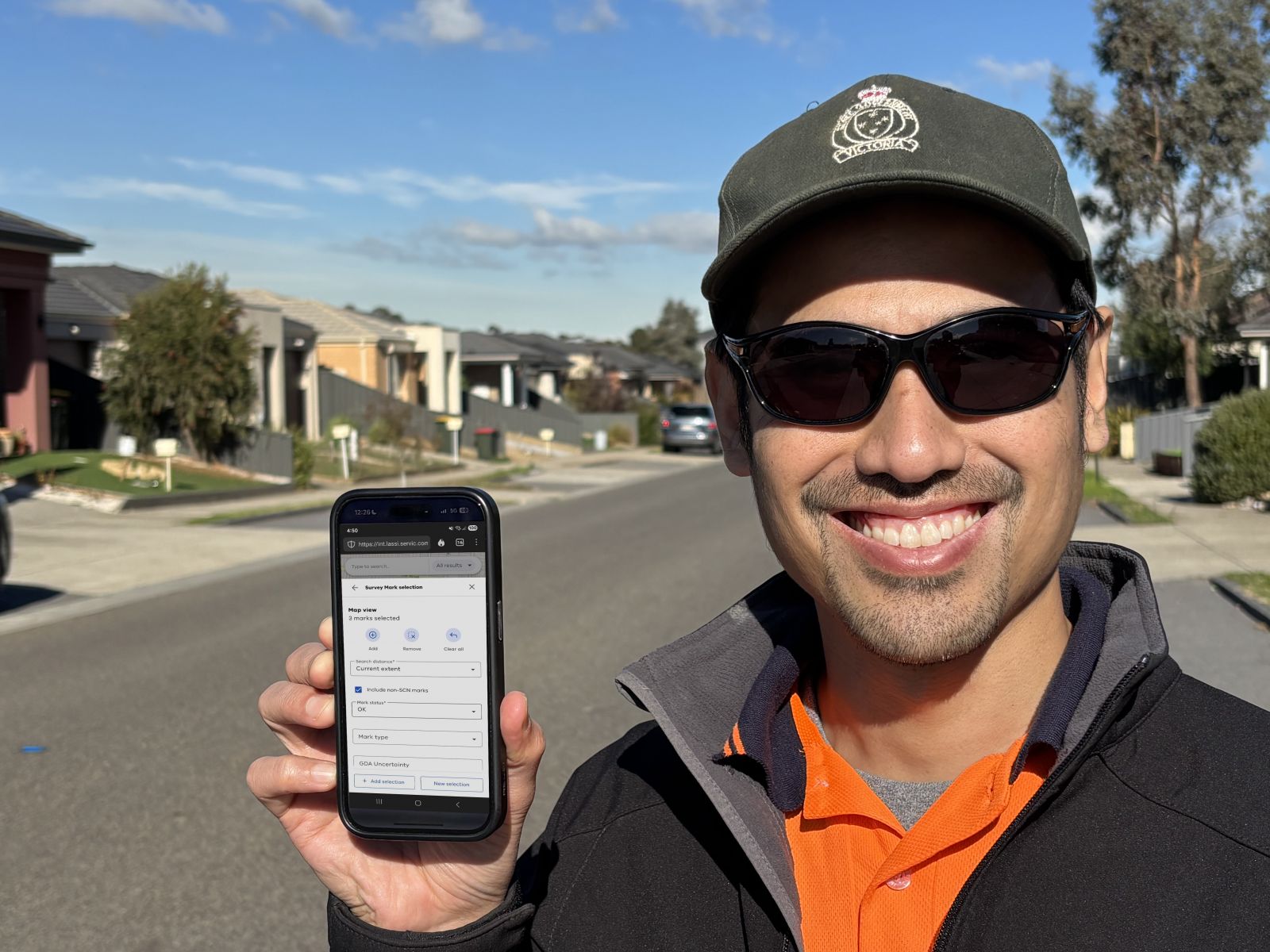
- Survey Mark Enquiry (SMES) – search the official register of survey mark information and submit updates.
- VICNAMES Enquiry – search the official Register of Geographic Names and contribute historical information.
Each enquiry type opens a tailored map view with relevant layers, tools and search options.
Features and tools
LASSI provides tools for searching, viewing and exporting spatial information. Core features are available across desktop, tablet and mobile, with some advanced tools available on desktop.
Mobile friendly
- LASSI is a fully responsive web application, designed to work across desktop, tablet and mobile devices. Some advanced tools are only available on desktop.
Single platform
- LASSI provides access to property, survey mark and place name information from one map interface, with enquiry-specific layers and tools.
Reliable map performance
- LASSI loads map content and data through background services to support responsive searching, navigation and exports.
Search and advanced tools
- Use Quick Search for fast results, or Advanced Search when using formal references, identifiers or coordinates.
Map tools and exports
- LASSI includes tools to select features, measure distance and area, annotate maps and export data as PDFs, images or CSV files, depending on the enquiry type.
Training and support
Support for LASSI is provided through the self-help Wiki and in-system support tools.
The Wiki provides:
- task-based video tutorials and guidance
- step-by-step text instructions
- troubleshooting
- known issues and workarounds.
More information
If you need help using LASSI, submit a request within the platform by clicking on Help and choosing an option.
For general enquiries, contact lassi.info@transport.vic.gov.au.
Page last updated: 20/05/26