
On this page:

Overview
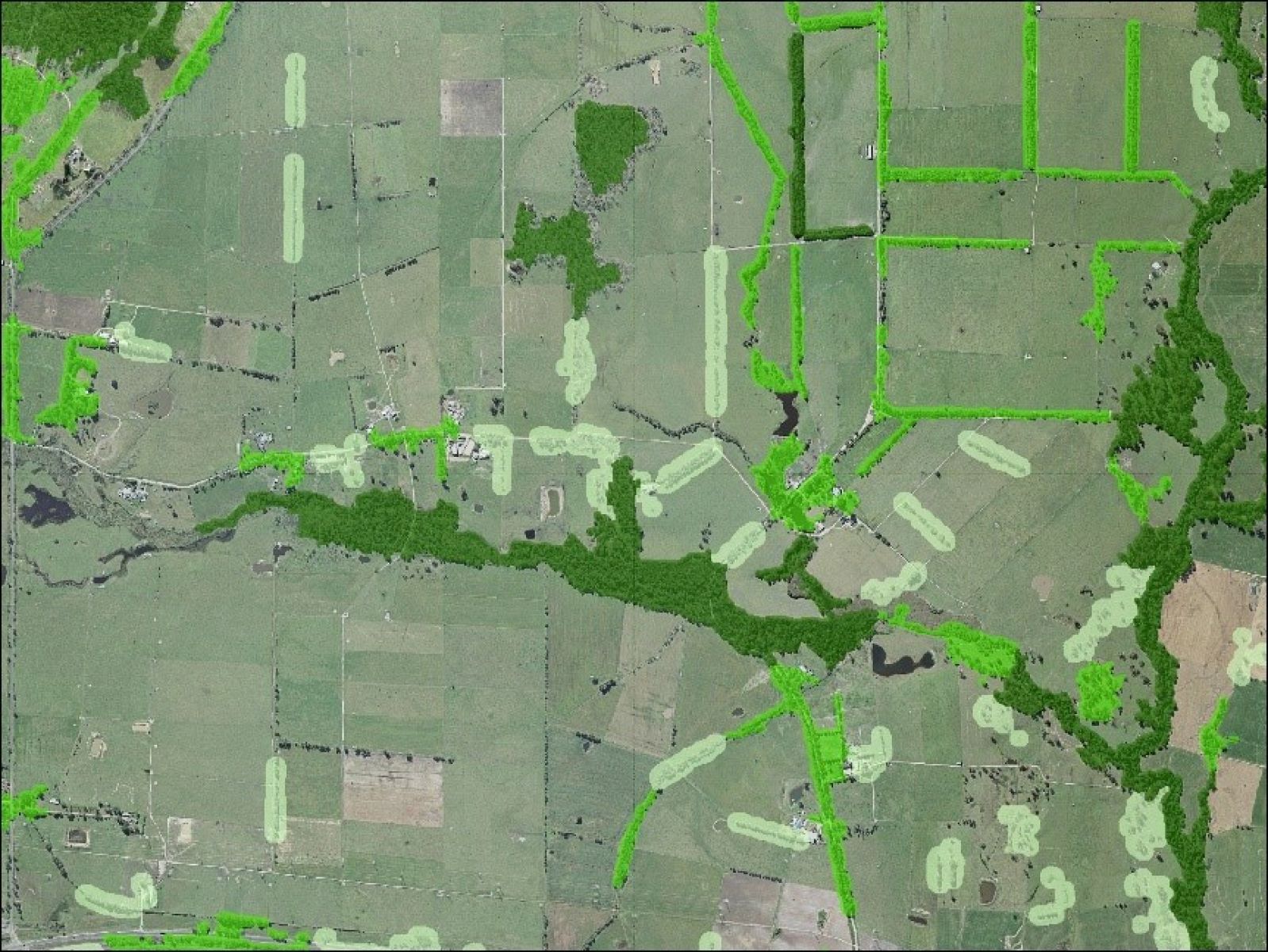
Vicmap Vegetation contains topologically structured digital datasets depicting trees or areas of woody cover across the state of Victoria.
Vicmap Vegetation can help users undertake environmental analysis, risk management and map production activities. Customers include utilities, resource managers, local government, cartographers and emergency services organisations.
Vicmap Vegetation contains four datasets:
- Tree Extent
- Tree Density
- Tree Urban
- Plantations
Vicmap Tree Extent shows tree presence/absence at a 20 cm pixel resolution across the state.
Vicmap Tree Density shows the presence of woody vegetation and has been divided into three distinct density classes. The density classes show the spatial separation of woody vegetation between dense, medium and sparse. It has been derived from the Tree Extent dataset.
Vicmap Tree Urban shows centrepoints and heights of trees. It has been created for metropolitan regions in four regional councils (Wangaratta, Shepparton, Sale and Ballarat) and metropolitan Melbourne.
Plantations contains information showing the extent of softwood and hardwood plantings.
Explore data
You can visualise and explore Vicmap data in an online map before you download it:
Note that this site may not include the full suite of available Vicmap products.
Access data
- Vicmap Vegetation – Tree Urban is available under a Creative Commons license.
- Vicmap Vegetation – Tree Extent is a raster dataset that can be obtained via Vicmap Vegetation in Data Vic or Datashare and is available under a Creative Commons license.
- Vicmap Vegetation – Tree Density is available under a Creative Commons license.
- Vicmap Vegetation – Plantations is available under a DTP Data Access License Agreement. Permission is required to obtain access to this dataset.
Access Vicmap Vegetation from DataVic.
Technical detail
| Dataset and Source | Coverage and Currency |
|---|---|
| Tree Extent – Aerial photography | Statewide – variable across the State from 2009 up until 2020 |
| Tree Density – Aerial photography | Statewide – variable across the State from 2009 up until 2020 |
| Tree Urban – Aerial photography and LiDAR | Metropolitan regions across Wangaratta, Shepparton, Sale and Ballarat, and Metropolitan Melbourne – 2019/2020 |
| Plantations – Custodian supply | Statewide – annual update |
Where reasonably practicable, Vicmap complies with the FAIR data principle: Findable, Accessible, Interoperable and Reusable. This is why Vicmap is available in a range of data formats and datums.
For details, please review the Vicmap product specification below.
Product resources
How to get help
Vicmap customers and business custodians can contact the Vicmap helpdesk for product information and support.
Page last updated: 12/03/26