
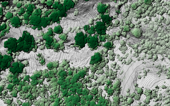
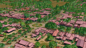
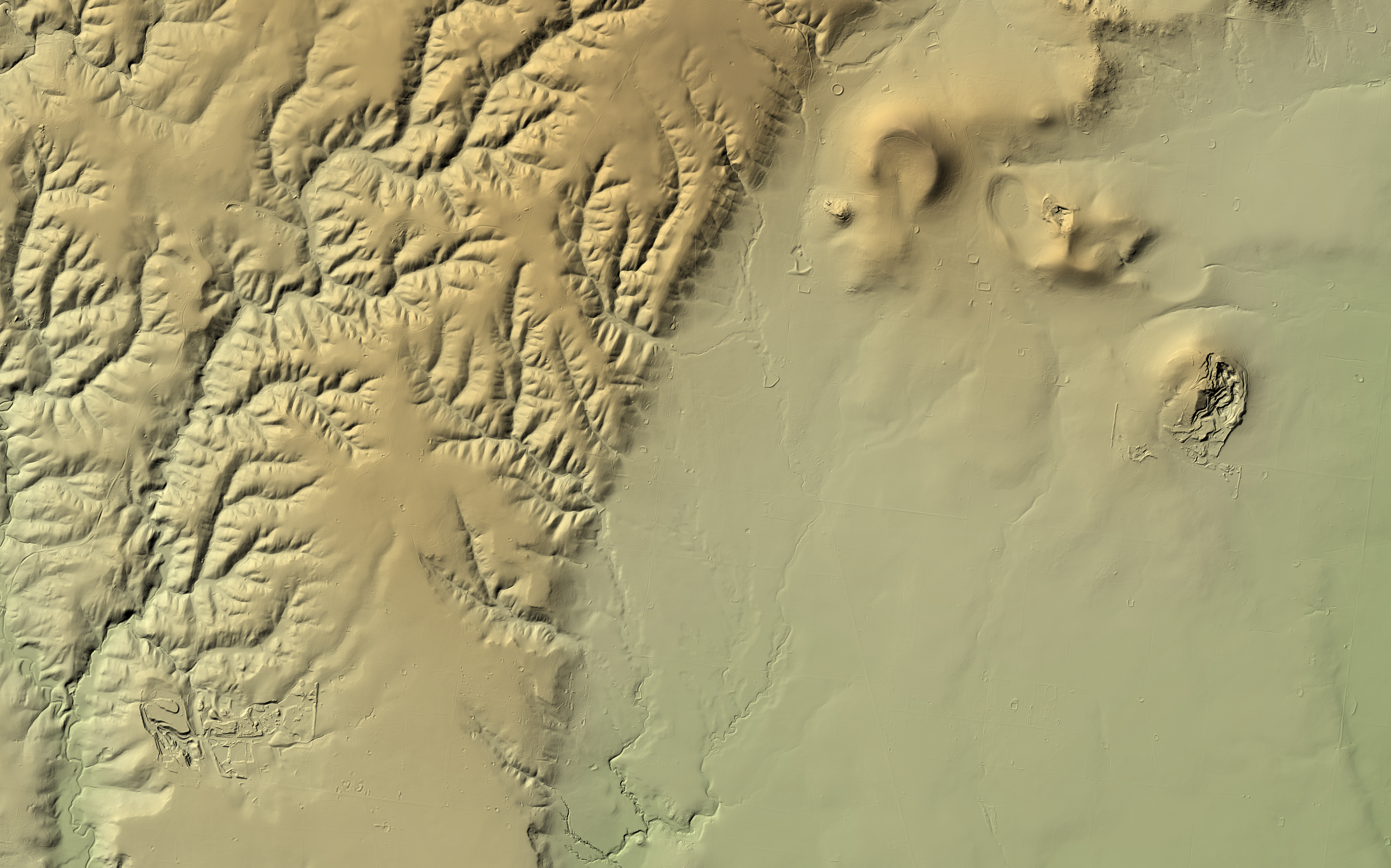
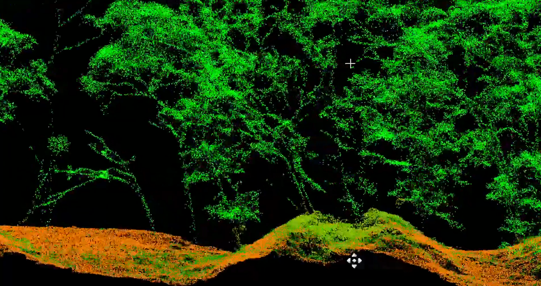
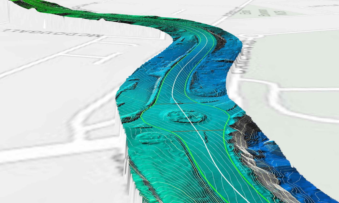
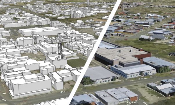
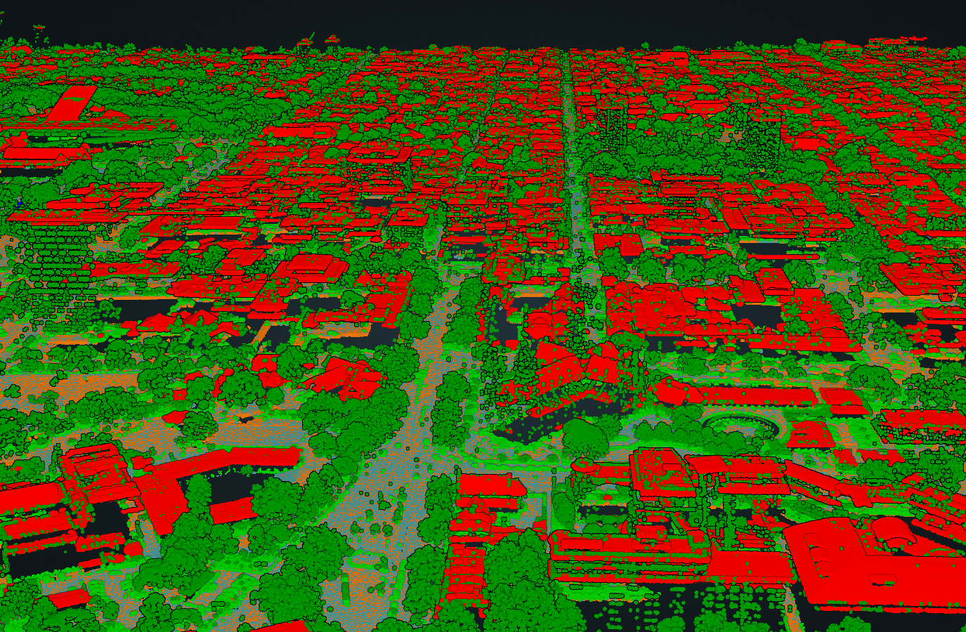
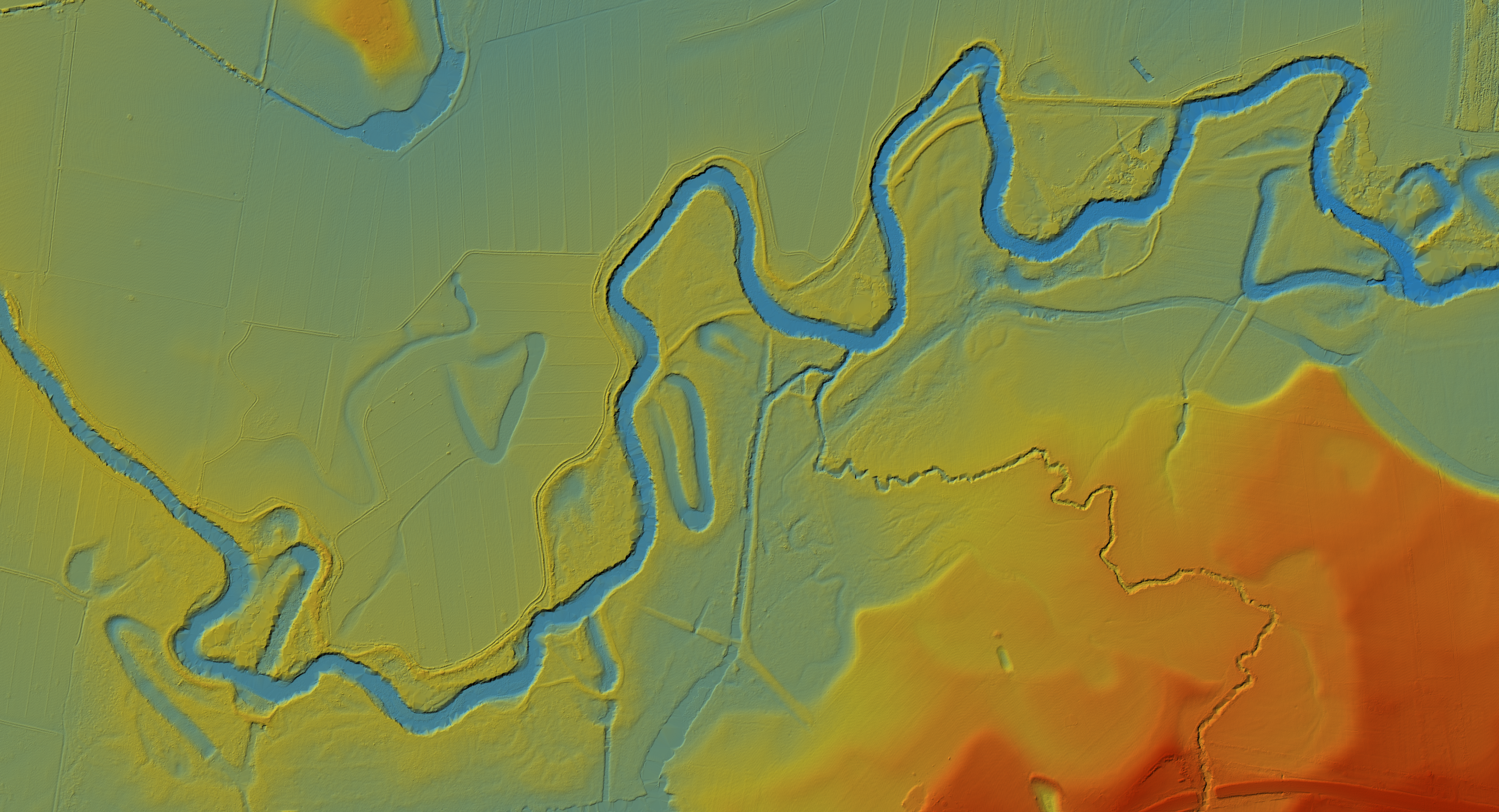
Since 2006, the Coordinated Imagery Program (CIP) has acquired over 100,000 km2 of LiDAR data across more than 130 projects through public sector partner investment. This LiDAR data has been used to support flood planning, generate elevation models, monitor coastal and forest environments, enhance geological data and support traditional owner cultural heritage use cases.
The data collected through these projects contributes to the Vicmap Elevation LiDAR DEMs and Vicmap Elevation LiDAR Point Cloud products. These products are available to license through Vicmap’s Value Added Reseller (VAR) and Data Service Provider (DSP) network for the private sector and via coordinated.imagery@transport.vic.gov.au for government entities.
Discover further details about some of our more significant LiDAR projects through short descriptions of their technical specifications, extents and availability, as well as data samples to download or visualise online.
Explore major LiDAR projects in Victoria
Page last updated: 05/09/24