
On this page:
Overview
Vicmap Index includes individual datasets showing the extent of several government and industry map series products. It also shows the state boundary, zero contour coastline and the extent of information of Vicmap Framework data.
Vicmap Index will help users with spatial location, map production, web-based searches, dispatch, delivery, and GIS analysis.
Vicmap Index includes:
- Key extents for Vicmap framework products
- State border and coastline
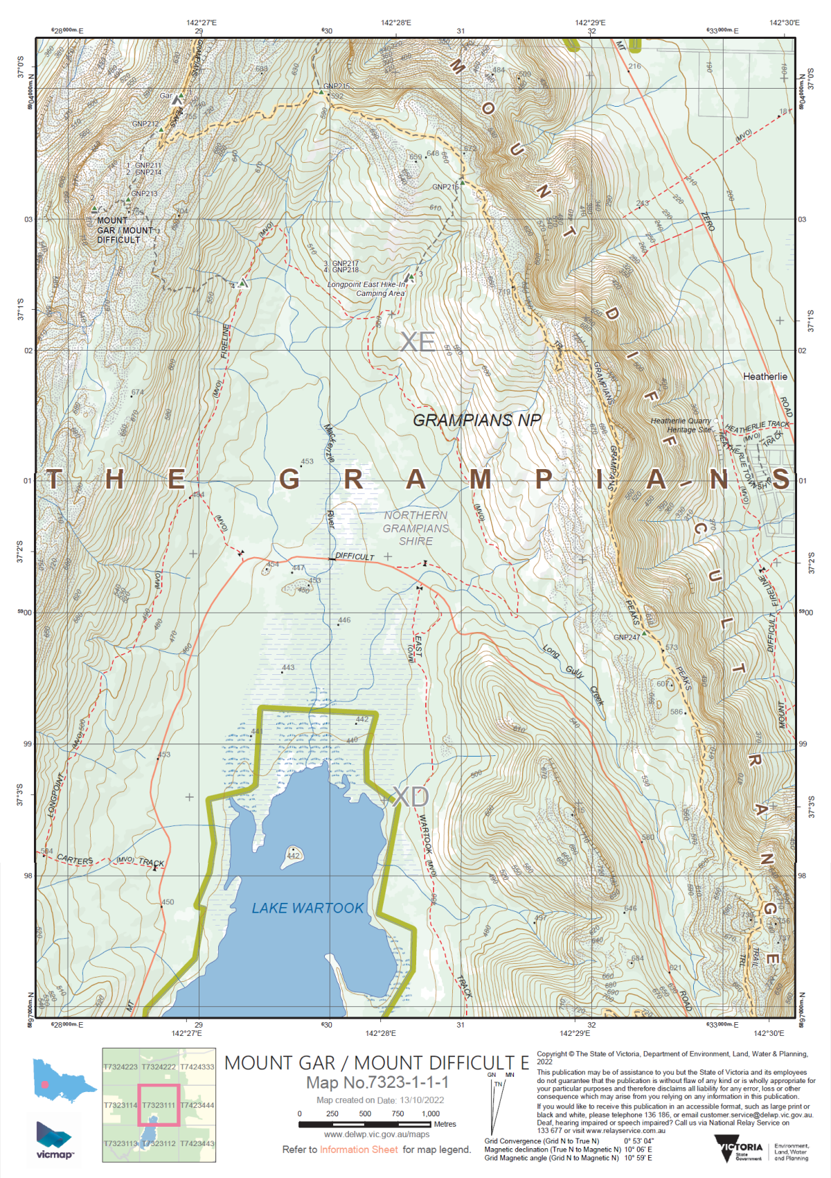
- Vicmap Topographic Indices
- Spatial Vision map book indices.
Explore data
You can explore Vicmap data in a web mapping service before you download:
Although this site contains the core Vicmap datasets, it may not include the full suite of available products.
Access data
Vicmap Index can be downloaded from the DataShare platform and is available under a Creative Commons license.
- Download Vicmap Index in Data.Vic
- Access via the Vicmap as a Service platform on ArcGIS Online
Technical detail
| Source information | Refer to Vicmap Index product description |
|---|---|
| Coverage | Statewide |
| Currency | Various |
| Scale of capture | Various |
| Special features | Key extents for Vicmap framework products State border and coastline, and extents for government and industry map series products |
Where reasonably practicable, Vicmap complies with the FAIR data principle: Findable, Accessible, Interoperable and Reusable. This is why Vicmap is available in a range of data formats and datums.
For details, please review the Vicmap product specification below.
How to get help
Vicmap customers and business custodians can contact the Vicmap helpdesk for product information and support.
Page last updated: 25/03/25