
On this page:
Vicmap Basemaps
Features of the service:
- Built on Vicmap, the foundational spatial data that underpins most spatial information in Victoria.
- Weekly updates (excluding aerial basemaps).
- Ongoing service improvements.
- Open standard web services (WMTS).
- Built on highly available, cloud-based IT infrastructure.
Explore basemaps
Access the landing page to explore the available basemaps.
Raster basemaps
There are 3 styles of basemaps in 2 coordinate systems available in the Vicmap Basemaps service.
The styles include:
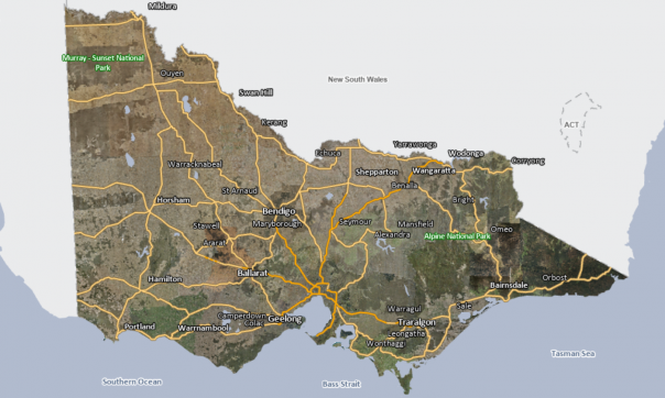
- Aerial: statewide mosaic of satellite and aerial imagery captured by the Vicmap Coordinated Imagery Program.
- Cartographic: a basic colour map.
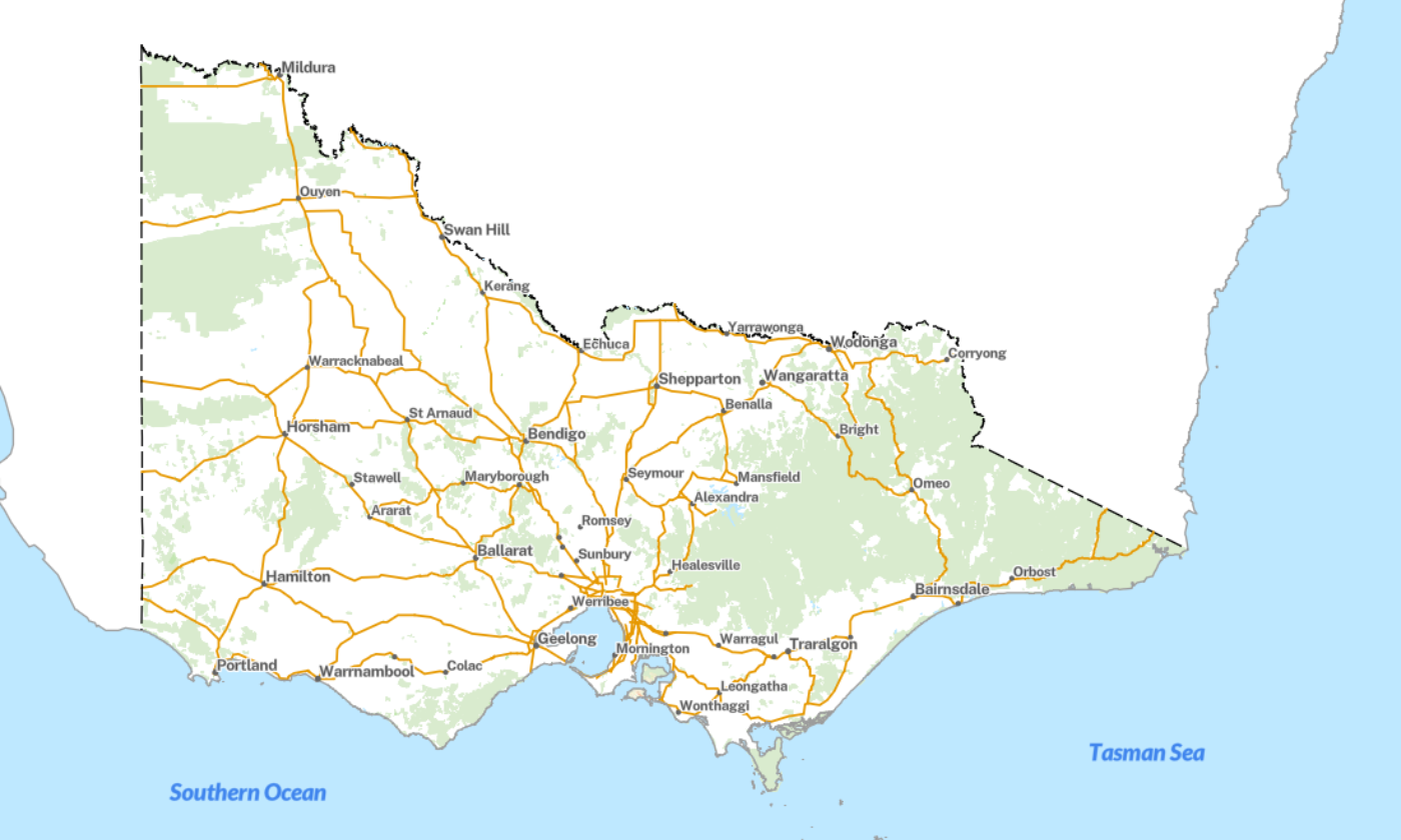
- Overlay: a basic colour map styled specifically for overlaying onto the aerial basemap.
| Vicmap Basemap | Theme | Projection | Updated |
| Aerial | Satellite Aerial photography | Vicgrid2020 Web Mercator | Quarterly |
| Cartographic | Colour | Vicgrid2020 Web Mercator | Weekly |
| Overlay | Colour | Vicgrid2020 Web Mercator | Weekly |
Vector Basemaps
Vicmap has collaborated with NSW Spatial Services to produce vector basemaps with similiar styling.
The colour vector tile basemap are a subscription service. Please contact vicmap@transport.vic.gov.au for more information.
Vicmap Vector Basemap | Projection | Updated |
|---|---|---|
| Colour | Web Mercator | Weekly |
| Hybrid | Web Mercator | Weekly |
| Greyscale | Web Mercator | Weekly |
| Dark grey | Web Mercator | Weekly |

- Vicmap vector tile basemap – colour
- Vicmap vector tile basemap – greyscale

- Vicmap vector tile basemap – hybrid
- Vicmap vector tile basemap – dark grey
- Vicmap vector tile basemap – overlay
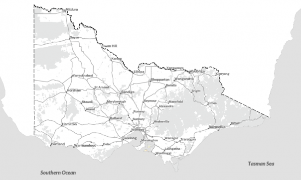
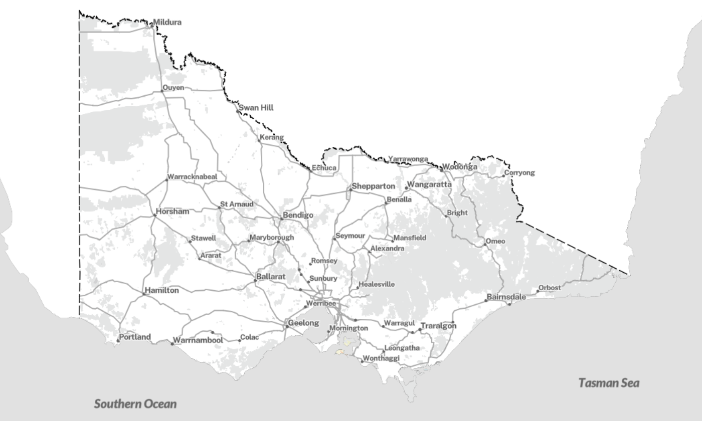
Vicmap vector tile basemap – colour
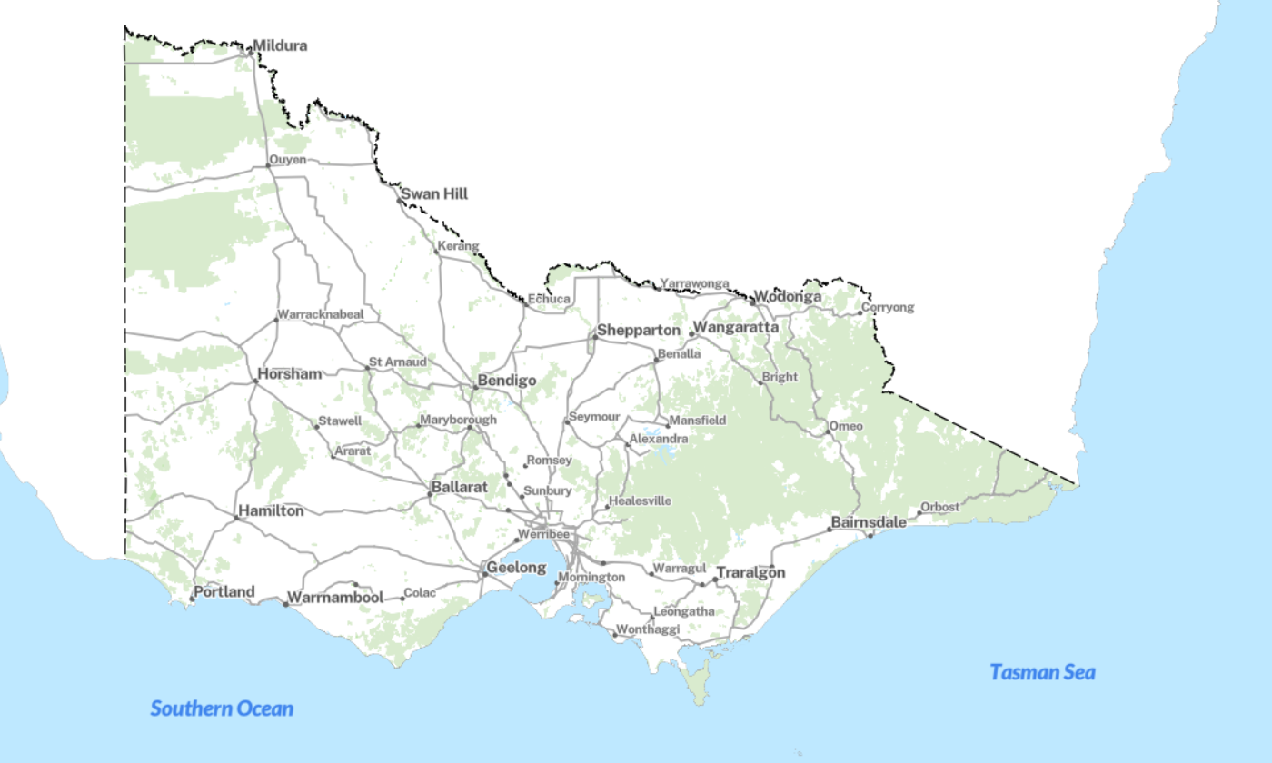
Vicmap vector tile basemap – greyscale
Vicmap vector tile basemap – hybrid
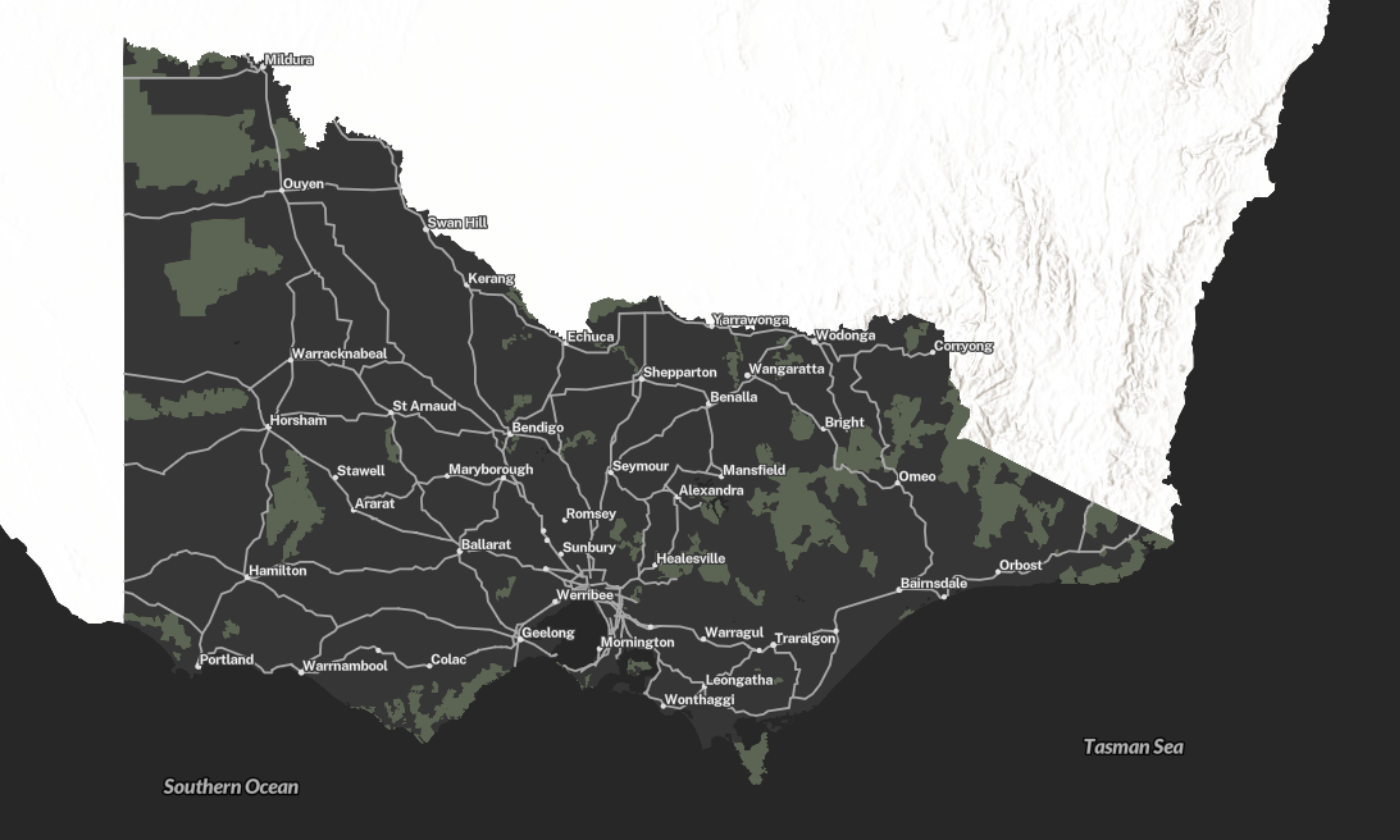
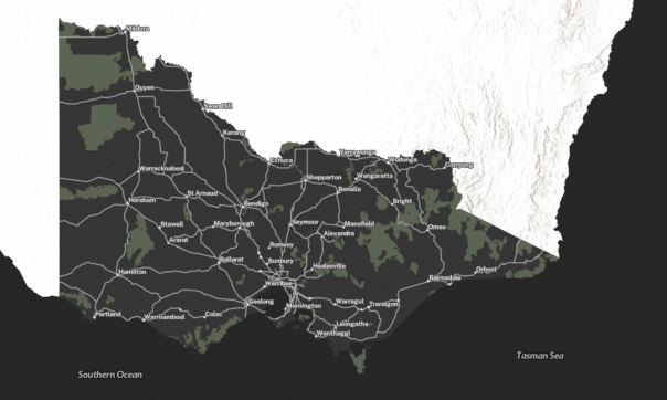
Vicmap vector tile basemap – dark grey

Vicmap vector tile basemap – overlay
Technical information
Developers can integrate Vicmap Basemaps as a Web Map Service (WMS or WMTS) into any web mapping and GIS desktop application.
Read more about technical information.
Product resources
Download the Vicmap Vector Basemaps user guide:
Licencing
Vicmap Basemaps is a licensed and supported product, and annual fees can apply.
There is a licence service fee for incorporating Vicmap Basemaps into your business website or web mapping application.
A variety of licensing levels are available from large corporate licences that may use the imagery component in their products to single-seat licences for sole traders. Educational and community groups licences are also available.
Read more about licensing and copyright.
Infrastructure
Vicmap Basemaps is hosted on infrastructure in the Amazon Web Services cloud and is available 24/7, with support available during business hours.
How to get help
Vicmap customers and business custodians can contact the Vicmap team for product information and support by emailing vicmap@transport.vic.gov.au
Page last updated: 02/06/26