
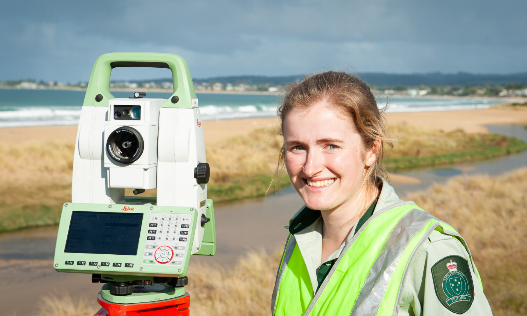
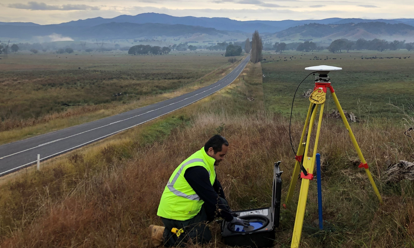
With a Certificate III from TAFE, a survey assistant works alongside more experienced surveyors in fieldwork, for example taking observations using our range of technology, and is involved in processing this information. The technology used might include drones, laser scanner or Global Navigation Satellite Systems (GNSS) receivers of the site.
On this page:
About Surveying and geospatial science
Surveying and spatial sciences offer exciting opportunities to contribute to our communities and how we relate to our built and natural environments. With diverse career pathways and opportunities across the government, private and academic sectors, there are many ways to chart your own journey.
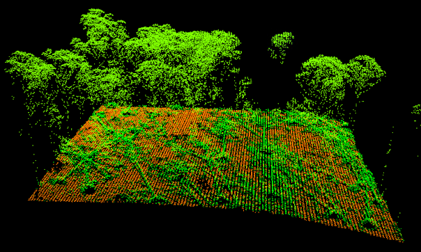
Surveying uses the science of measurement to map and collect information about the earth, its oceans, sky and land, natural and built environments. Surveyors collect survey observations or measurements using a variety of tools and instruments including remote sensing technology such as drones and laser scanners.
Geospatial science collects, analyses and models data based on a particular location, in natural and built environments, and then uses creative ways to map or represent the data in accessible and meaningful ways.
Surveying and spatial at Land Services Victoria
Land Services Victoria is the state’s key agency for land registration, spatial data services and maps, surveying, land valuation, geographic names, government land advice and assurance of government land transactions.
Our services contribute to building inclusive, safe and successful communities through better use of government land, the delivery of major infrastructure projects and the transition to new digital ways of working for a future-ready Victoria.
We offer exciting Science, Technology, Engineering and Mathematics (STEM) career opportunities for people with an interest in a diverse range of land, environment and property-related areas.

-
-
-

-
-


At Land Services Victoria you can:
Make a difference to Victoria’s communities
- Play a role in Victoria’s program of major projects and transport infrastructure.
- Support emergency response and help protect Victoria’s environment through high-quality data for decision-making.
Explore Victoria
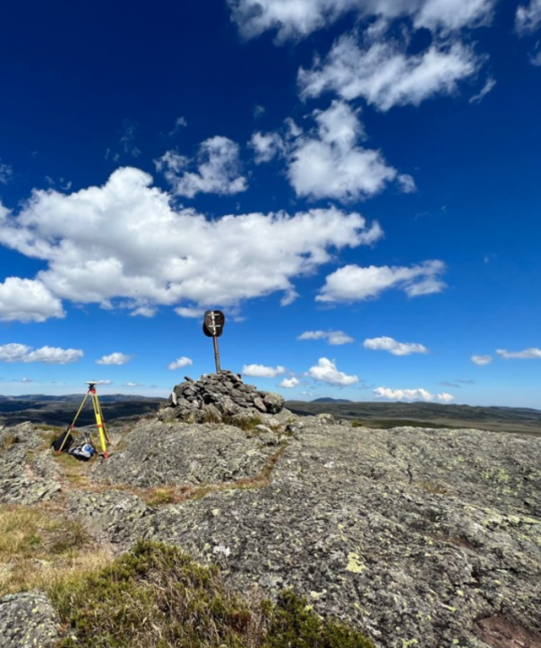
- Use high-tech equipment for survey field work in locations around the state.
- Help maintain Victoria’s GPS network through the Global Navigation Satellite System and ground stations.
Use cutting-edge technology
- Create innovative spatial data products with machine-learning and Artificial Intelligence (AI).
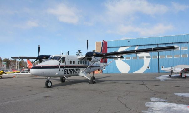
- Work with remote sensing technologies to capture drone, aerial and satellite imagery.
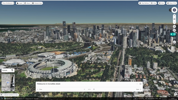
- Be part of landmark digital programs such as Digital Twin Victoria – the most comprehensive digital model of Victoria ever assembled.
Surveying career pathways
These are just some of your options for careers in surveying at Land Services Victoria.
After completing a diploma, you can work as a survey technician. Surveying technicians collect and analyse data, as well as develop plans for Registered Surveyors to provide the initial information required for a surveying project.
Licensed Surveyors, sometimes called Land Surveyors or Cadastral Surveyors, record exact measurements or collect evidence of features and monuments that assist in defining property boundaries. Using a variety of techniques and instruments, Licensed Surveyors use the measurements and evidence collected to make property boundary determinations. These decisions can be visualised on survey plans and in our digital cadastral data sets.
Geodetic Surveyors measure the Earth’s surface using precise measurements to map the size and shape of the world. They use precision instruments including GNSS to take exact measurements of elevations, points, lines and contours on the Earth’s surface. Their work is also used to monitor sea level rise and track the movement of continents over time.
Geospatial career pathways
These are just some of the options for careers in geospatial at Land Services Victoria.
Geospatial scientists gather, analyse and model location-based data and build a deep understanding of it. They then use their creativity to find simple and meaningful ways to represent data including through maps. Geospatial scientists closely consider how data relates to the natural and built environments as well as the community to help predict patterns and trends. They can use data gathered from a variety of tools including remote sensing, Geographic Information Systems (GIS) and GNSS.
GIS Analysts (or Spatial Data Analysts) are spatial problem solvers with a wide range of skills and technical expertise. GIS analysts visualise, transform and analyse spatial data typically using a variety of software platforms. Their work can involve map making, research and analysis, preparing geospatial data sets and database management, to name just a few.
Spatial Data Managers (sometimes referred to as Data Custodians) store and index data with spatial features including geographic data and geometric extents. They ensure data is fit for purpose and accessible so that GIS analysts can access the data in the right format when needed. Spatial Data Managers work closely with both analysts and data owners to source and maintain data.
How can I get started?
Explore these resources to learn more about surveying and geospatial sciences:
- Geospatial science: Intelligence to shape our world
- She Maps: drone and geospatial education made easy
All Victorian Government career opportunities are available at Careers.Vic.
There are many options for starting a career in the field of surveying and geospatial science. Learn more about study opportunities:
Read more about surveying and spatial at Land Services Victoria:
Page last updated: 20/05/26