
22 June 2022
With the spatially adjusted data becoming available for the surveying and spatial community to view and download, there is great interest in the output from the Digital Cadastre Modernisation (DCM) project.
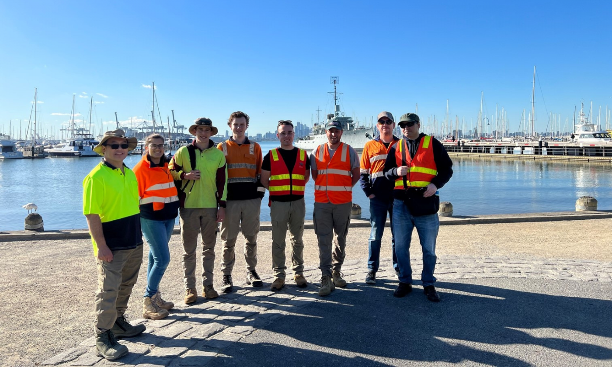
In late May the DCM team‘s early career surveyors and licensed surveyor collaborated to perform ‘ground truthing’ of the calculated adjustment results. This was our first round of field verification work and will become another step in our data quality control process.
The team surveyed parts of Hobsons Bay to get an on-the-ground comparison of the DCM adjustment output across 710 survey points. This work measured and compared the DCM adjustment output in the real world, in light of the project aim to achieve accuracies approaching 0.1m in urban areas and 0.5m in rural areas.
The approach to the field work was one of fast-data capture, gathering a sufficient quantity of survey data for an initial analysis. Sites selected for field work were some of those that had presented a level of complexity in the initial adjustment. The data collected is being used to further investigate these areas.
The data collected is currently still under analysis and the findings will be shared once further analysis of the field data is complete. The ground truthing will confirm and inform the work being done to improve the end digital cadastre product.
Read more about the adjusted data release:
Page last updated: 11/07/23