

-
-

-
-
-

-


20 November 2023
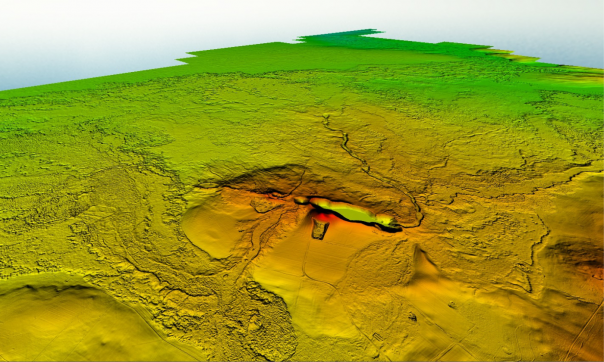
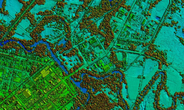
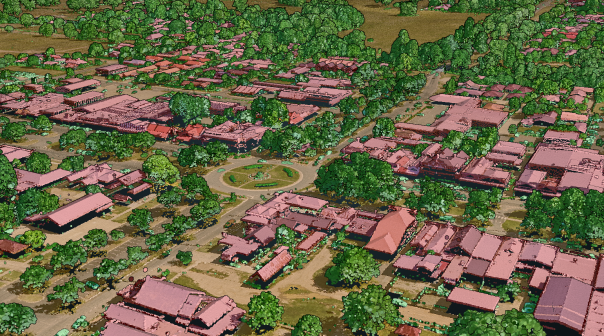
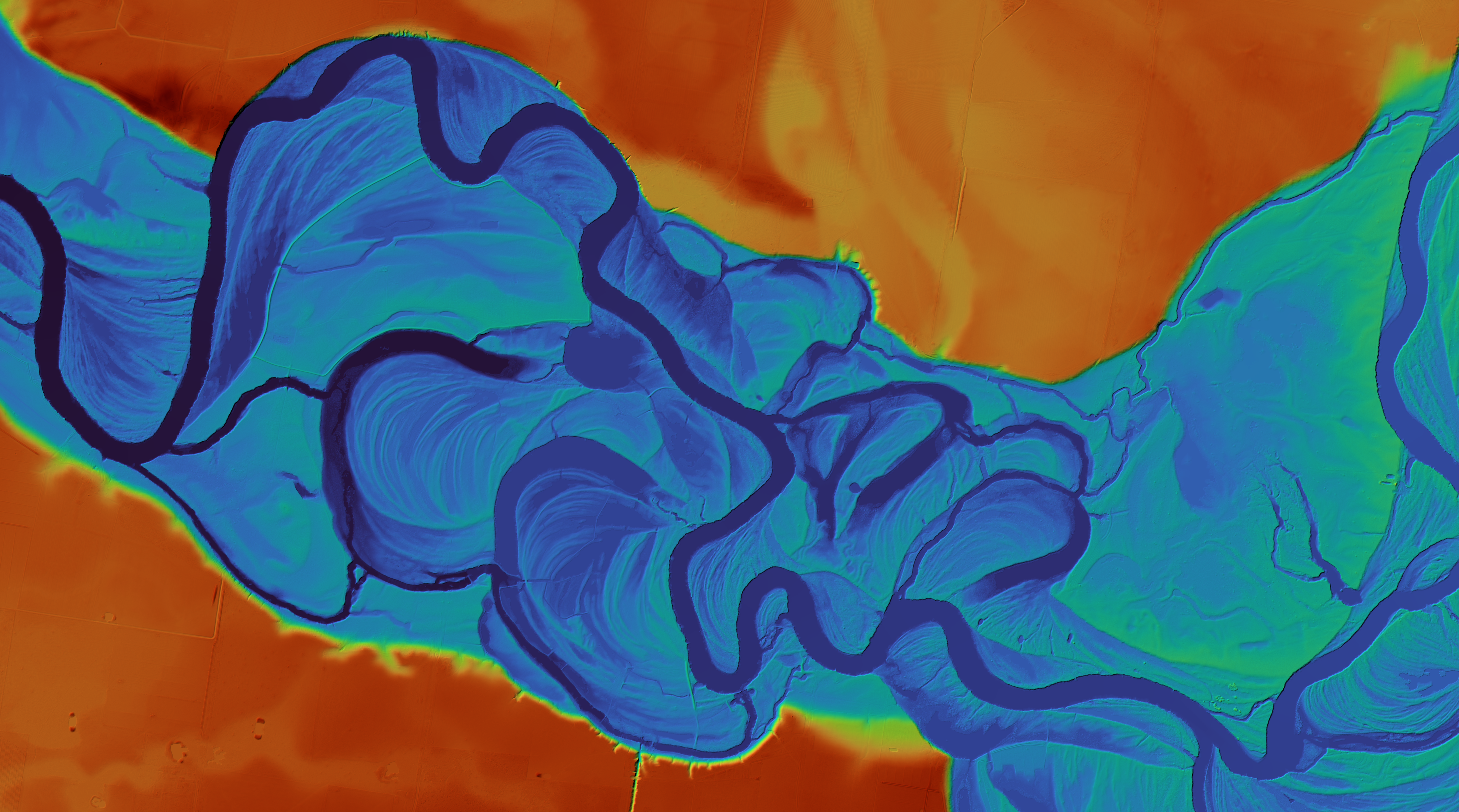
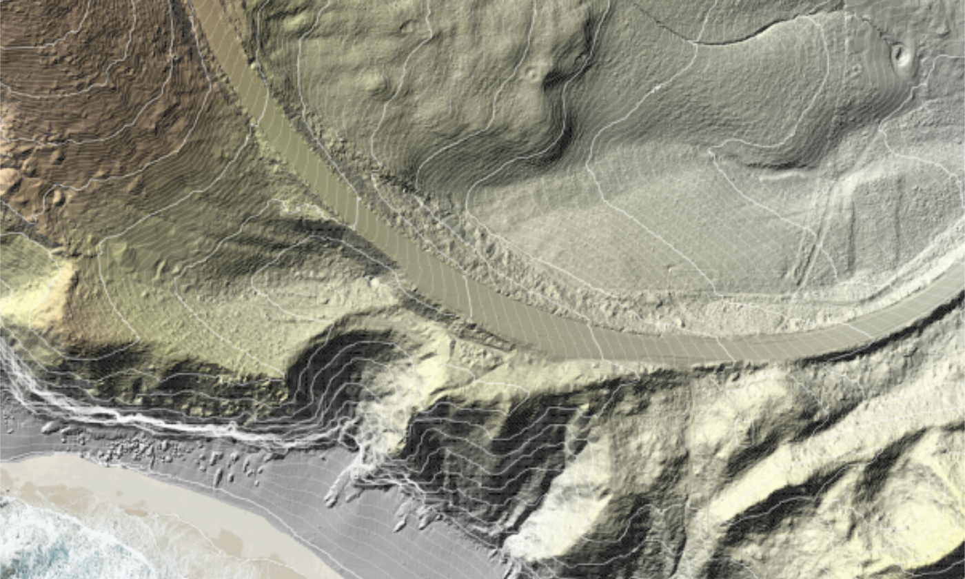
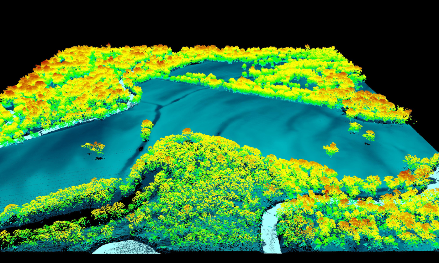
Since 2006, the Coordinated Imagery Program (CIP) has managed the acquisition of high-quality elevation data and delivered over 130 projects for public sector partners. A webpage of major LiDAR projects has been launched, featuring examples of the elevation data available across the state.
The projects featured have been used for a range of purposes including flood and bushfire planning, infrastructure planning, environmental monitoring and supporting traditional owner cultural heritage use cases.
Projects listed include:
- Victoria's largest ever LiDAR survey capturing data over 99% of the state's populated areas as part of the Digital Twin Victoria program.
- High-density LiDAR of the UNESCO World Heritage Budj-Bim region to identify culturally significant heritage structures.
- LiDAR capture over East Gippsland and the Central Highlands to support vegetation and forest mapping for conservation and sustainable forestry.
- and more!
Project and technical details are available for each project, along with sample images. Download or view a sample of the data through a web browser.
The LiDAR data captured in these projects, along with a range of other elevation data, is available to Victorian state and local government agencies. Email coordinated.imagery@delwp.vic.gov.au to enquire about data access and licensing.
Learn more about our major LiDAR projects:
Page last updated: 20/11/23