

-

-
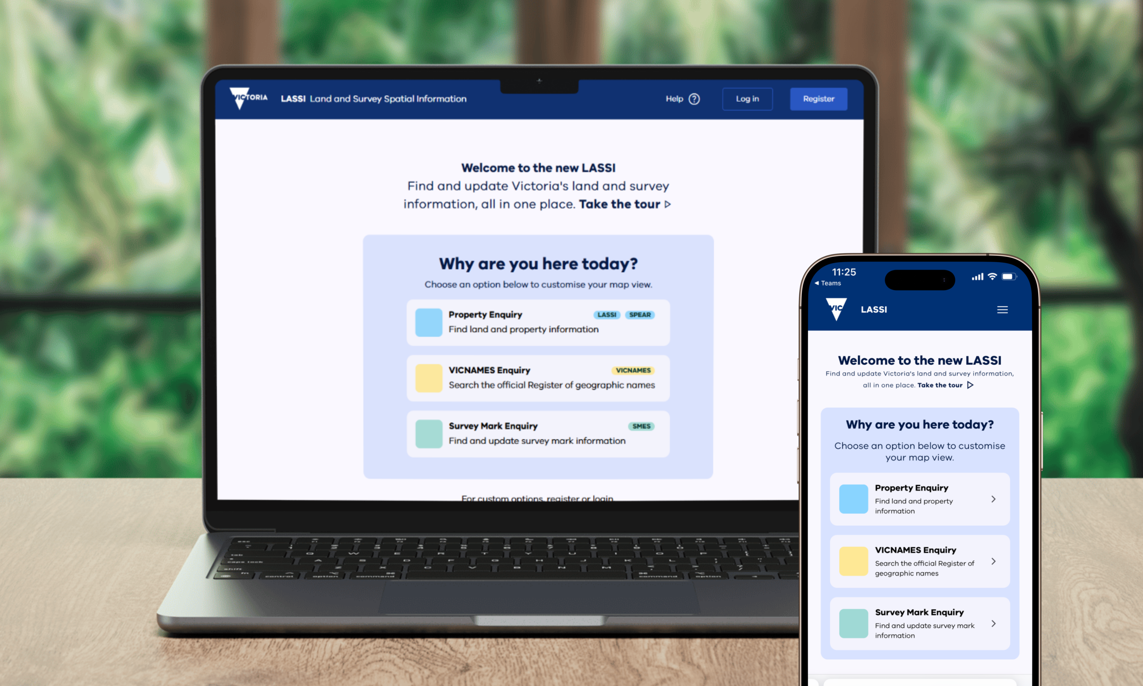
Finding and updating Victoria’s land and survey information is set to become simpler and more streamlined with a new Land and Survey Spatial Information (LASSI) mapping platform coming early 2026.
The new future-ready LASSI will combine four mapping services into a single platform, bringing together LASSI, Survey Marks Enquiry Service (SMES), VICNAMES and LASSI-SPEAR.
LASSI is a free web-based mapping service to search and view information about Crown and freehold parcels. It is used by surveyors, government, industry and other professionals in land and property to plan new developments; prepare land surveys; add or update survey marks, place names and historical information.
The new LASSI has functionality you are familiar with, as well as some new tools, new interface design, better search and system performance.
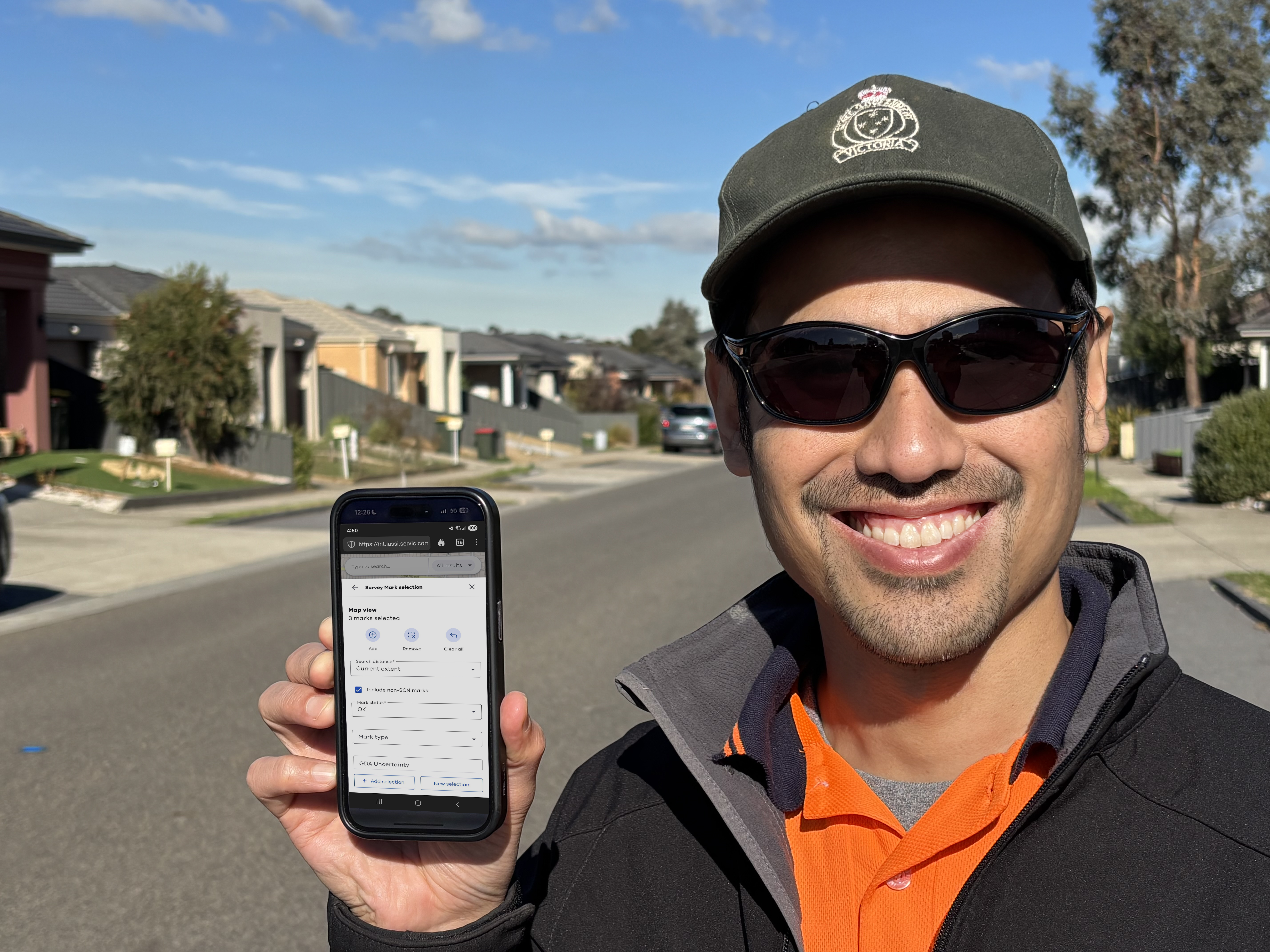
Mobile-friendly technology means users will be able to find and share information on the go. This includes registered SMES users, who will be able to create new submissions or make updates to survey marks from the field.
The new LASSI will also make it easier for registered users to upload photos and documents to support a historical submission. In VICNAMES, this will help to increase the number of place names with historical information, so that the stories behind our places are part of the official record of geographic place names.
Modernising our digital platforms helps build the connections for efficient and future-ready administration. The new LASSI will improve workflows for users, reducing manual work and duplication between systems.
LASSI Modernisation is being delivered with project partners Secure Electronic Registries Victoria (SERV), Veris and Escient.
Page last updated: 30/06/25