
13 March 2024
Did you know there are over 3.6 million land parcels in Victoria, represented by more than 900,000 cadastral plans and surveys? Information about these land parcels is recorded in what’s known as the digital cadastre, Victoria’s fully digital record of cadastral surveying and administrative information.
The digital cadastre is just one of the components of a broader cadastral system. The cadastre helps us build liveable, sustainable, safe and resilient communities; underpins major projects and affordable housing initiatives; and supports emergency services preparedness, response and recovery.
Land Use Victoria has collaborated with stakeholders including the surveying industry, local and state government, major government projects, utilities, research and education to ask the question: What should Victoria’s cadastral system look like in 10 years’ time?
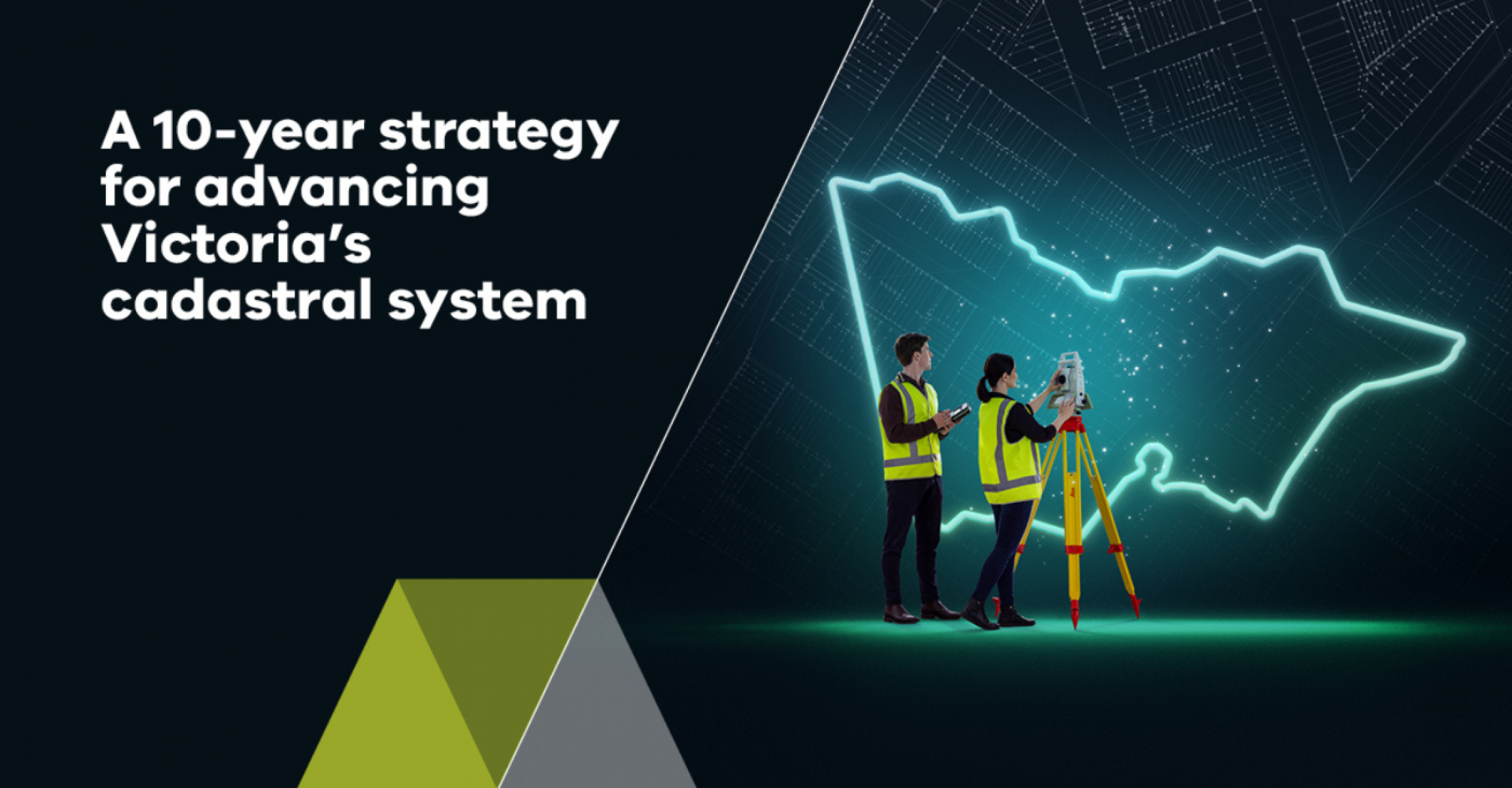
The outcome is a new 10-Year Strategy for Advancing Victoria’s Cadastral System that outlines how our cadastre will meet the needs of government, industry and the community for generations to come.
Victoria is experiencing a period of accelerated property development, land subdivision, construction and urban renewal, with the state’s population set to grow from around 6.5 million today to over 10 million by 20511.
To support this growth, the strategy will drive transformation across Victoria’s cadastral system and realise even greater efficiencies and cost savings during a time of emerging opportunities and growth.
With Horizon 1 almost complete, good progress is being made in achieving milestones. This includes digital cadastre modernisation, ePlan and SPEAR upgrades, new digital examination tools, new products such as Vicmap Buildings, and parts of the Digital Twin Victoria program such as eComply.
These milestones and more are being implemented across three horizons to help achieve the vision: A fully digital, highly automated and spatially accurate cadastral system that enables creating, managing and visualising the location and spatial extent of all known interests in Victorian land.
The strategy is a continuation of a long-term journey towards a fully digital land administration system and a future-ready Victoria.
Read more about the strategy and other initiatives supporting the cadastre:
Page last updated: 22/03/24