
-
-


30 September 2022
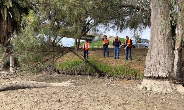
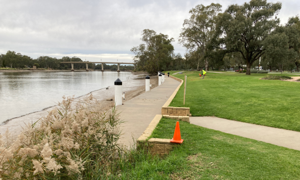
Staff from Surveyor-General Victoria (SGV) and Spatial Services NSW met recently in Mildura to inspect the Murray River and agree on the position of a section of the Victoria-NSW state border.
The inspection determined the position of the border between the George Chaffey Bridge and the downstream weir.
Conducted over a week, the inspection along the section of river between the bridge and weir coincided with low water levels. This allowed maintenance and examination of the weir’s submerged banks.
Determining the position of the State border along the Murray River was a complex process involving legal precedents and guidelines. Historical information such as water level recordings, survey documents, topographical surveys and old photographs were used.
With agreement reached on the location of the border, recordings of the position were made by SGV surveyors. These positions will be formally surveyed and marked on the ground ahead of a plan of survey of the State border being prepared.
Read more about the work of the Surveyor-General of Victoria:
Page last updated: 07/10/22