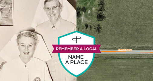
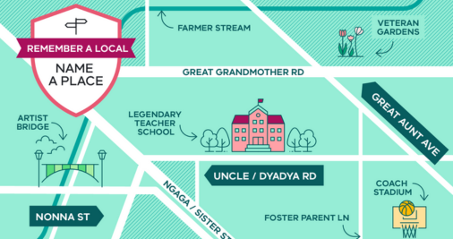
Remember a local – Name a place
Do you know an unsung hero who has left a lasting legacy in your community? We’re inviting all Victorians to nominate someone who has made a significant contribution to be considered for a new place name, particularly under-represented groups including women and First Nations people.
Visit Engage Victoria
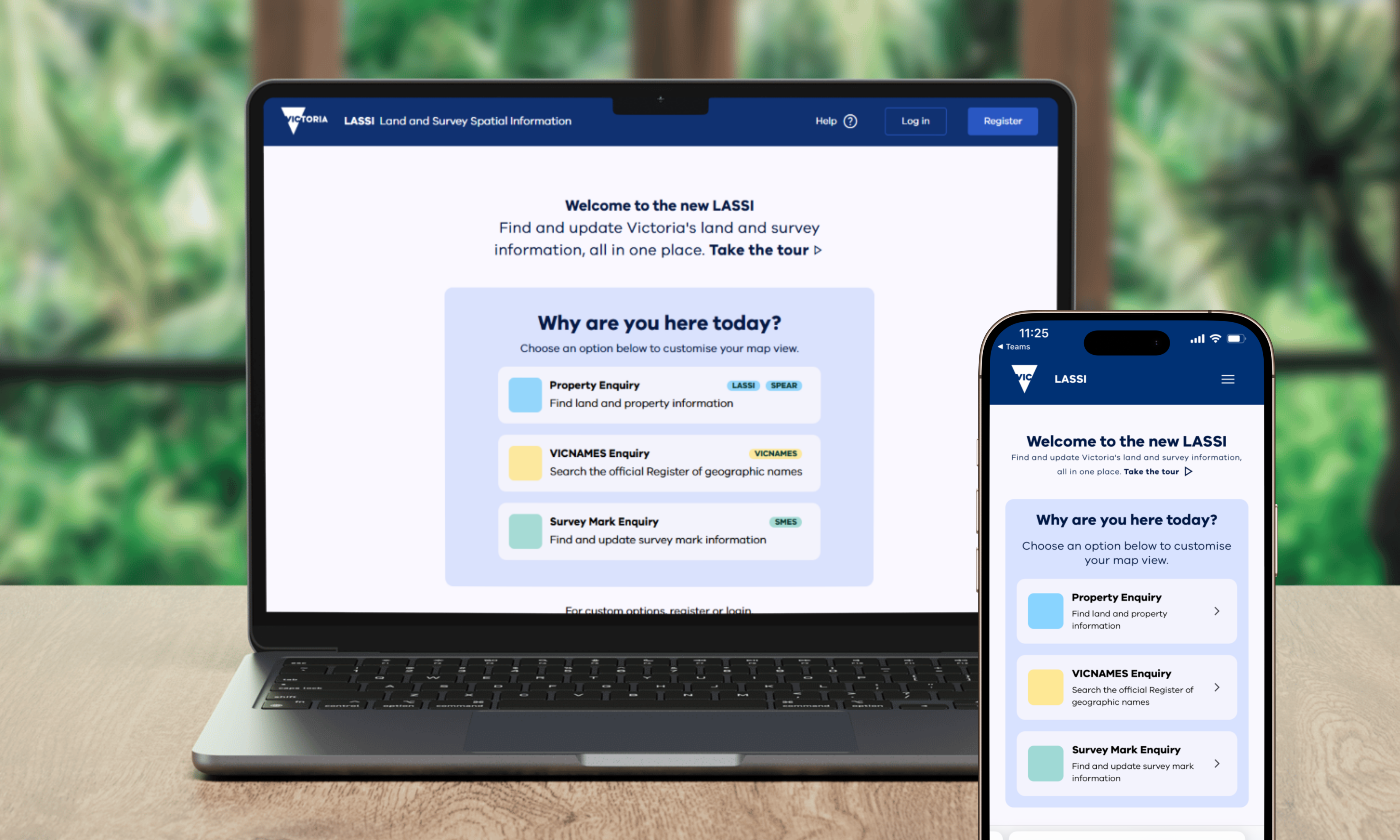
Property and parcel search
Discover your local government area, water business, power distributor, planning zones and overlays.